Natural Resources GIS Map Allows In-Depth Look into Public Lands
Tuesday, September 2, 2025 4:17 PM
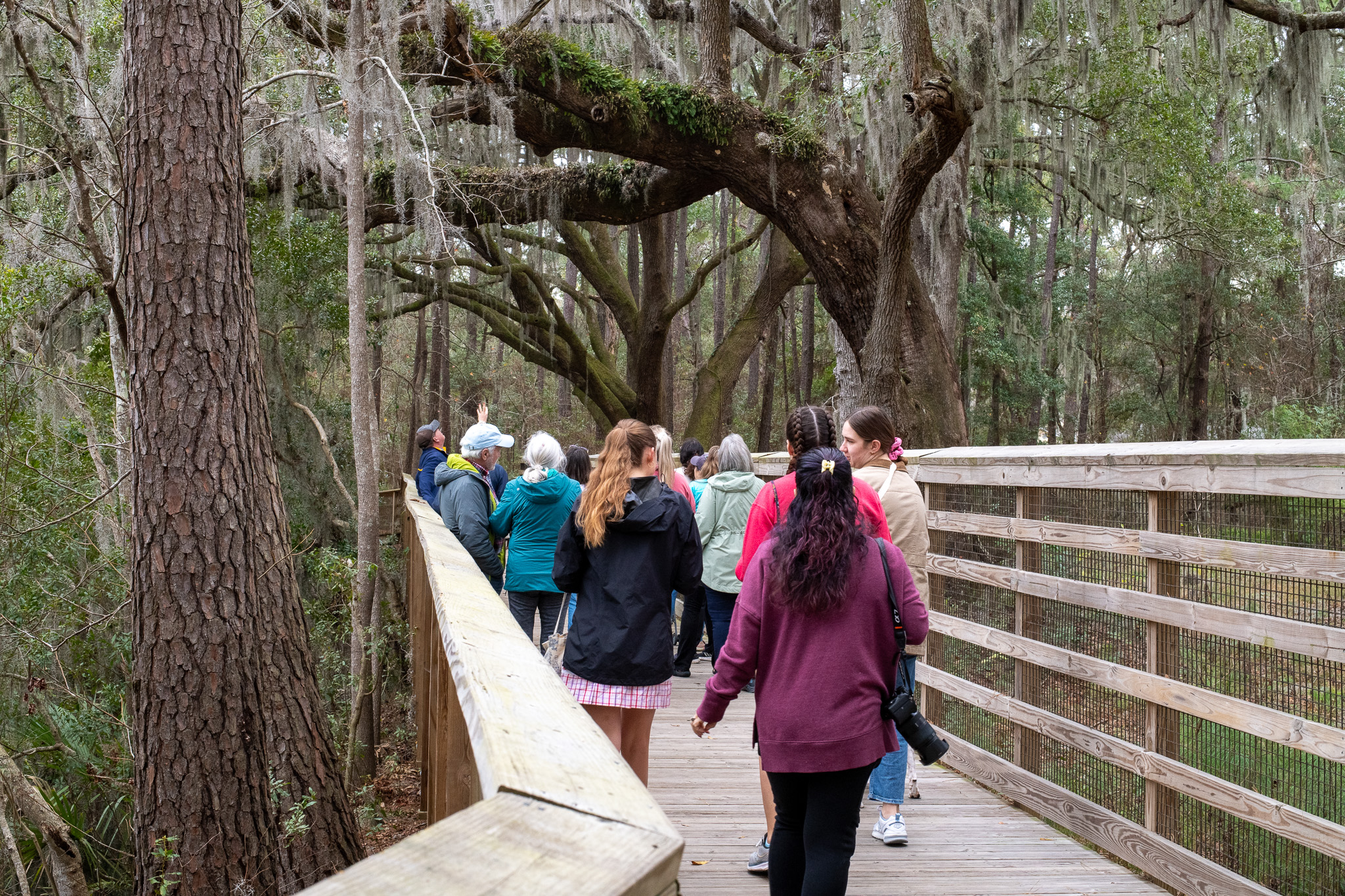
Beaufort County has been a trailblazer for conservation efforts in South Carolina for years. Through the vehicles of the Rural and Critical Lands Program and the Beaufort County Green Space Program, residents and visitors can enjoy protected open space and natural resources for generations to come. Preserving open space, protecting critical habitats and natural resources, and providing land for recreation offer our residents and visitors innumerable benefits. The public can now view all preserved lands in Beaufort County through the newly launched Natural Resources GIS Map.
The Natural Resources GIS Map shows detailed information on all conserved and protected land within Beaufort County, including those that may not be open to the public. By clicking on various options and sections of the map, visitors to the site can see a holistic view of natural resources and conserved land within the area. The map also includes marine access points, scenic roads, parcel boundaries, and property statuses.
Land Preservation Department Director Stefanie Nagid emphasized the importance of having information like this accessible to the taxpayers, stating, “This map provides accountability and transparency so that Beaufort County Taxpayers can see all the good work in conservation that is only possible with their support.”
The map can be viewed online at beaufortcountysc.gov by visiting the “Online Services” tab. Please visit the Land Preservation Department page for more information on programming, properties, and more.
Learn more about the Natural Resources map and hear from Stefanie Nagid directly by watching the short video below.